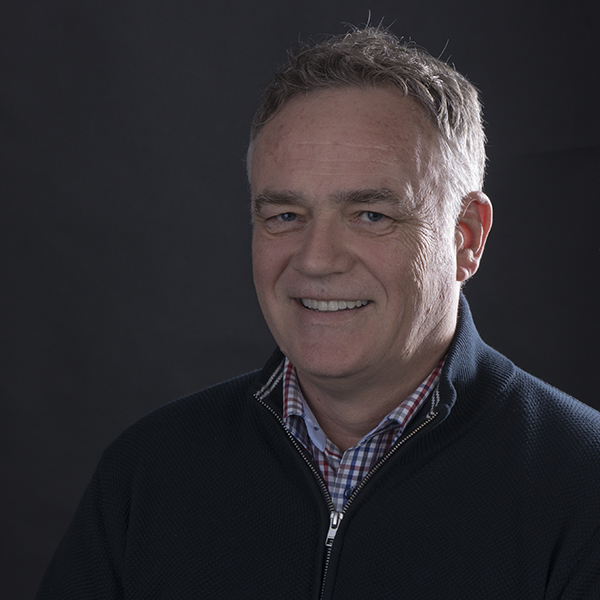
Danko Markovinović
Organizing committee
My journey in geodesy began at the Faculty of Geodesy, University of Zagreb, where I completed my Bachelor’s, Master’s, and PhD degrees. I then spent 18 years as a faculty member, contributing to research and education in the field. In a pivotal moment in my career, I was appointed by the Government of the Republic of Croatia as Director of the State Geodetic Administration, where I had the opportunity to lead transformative national geospatial projects. Some of the key milestones during my tenure included the launch of the State Geodetic Administration Geoportal (2012), the NSDI Geoportal (2014), and the implementation of the INSPIRE directive through the NSDI Law (2013). I was also responsible for overseeing the development and full implementation of the Joint Information System for cadastre and land registry, ensuring free and open access to geospatial data.
Currently, I serve as an Associate Professor and Head of the Department for Geodesy and Geomatics at the University North in Varaždin, as well as Head of the Department for Geodesy and Geoinformation at the University of Mostar’s Faculty of Civil Engineering, Architecture, and Geodesy. Throughout my career, I have been involved in numerous scientific and state-level projects in land administration, geodesy, geomatics, gravimetry, and satellite geodesy, with a particular focus on geodetic datums. I have had the privilege of mentoring over 120 undergraduate and graduate theses and contributing as an editor of two geodesy books.
My work has taken me beyond academia—I have served as Vice President of CLGE, a board member of Eurogeographics and the Croatian Chamber of Chartered Geodetic Engineers, and chaired its Professional Committee for Permanent Professional Development.
I have also authored and co-authored over 150 scientific articles and worked as a consultant for the World Bank and the European Commission. My expertise spans project management, GIS, BIM, satellite geodesy, laser scanning, and drone-based monitoring, and I remain passionate about advancing the geospatial field through research, innovation, and collaboration.